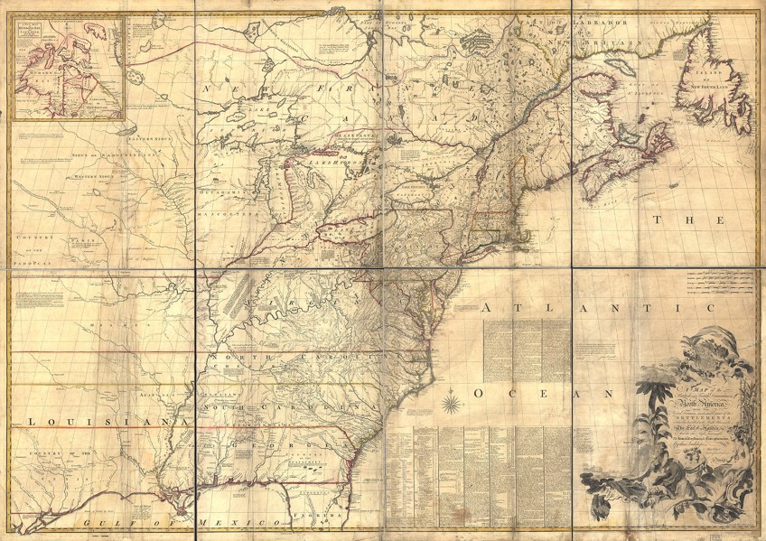
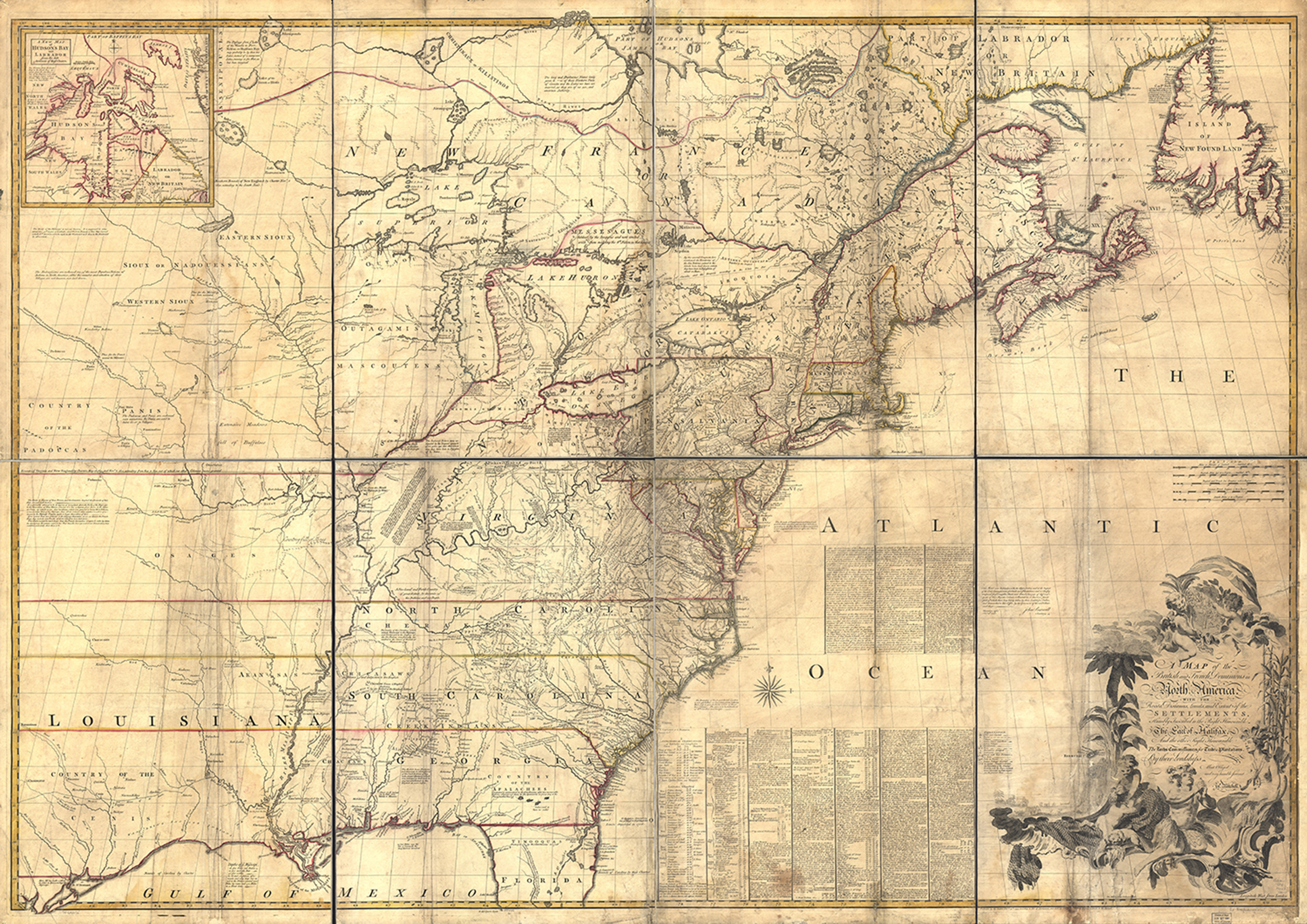
The Mitchell Map, published by John Mitchell on February 13th, 1755 as, “A Map of the British and French Dominions in North America.”

The Mitchell Map, published by John Mitchell on February 13th, 1755 as, “A Map of the British and French Dominions in North America.”
